GRANICA
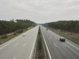
The German-Polish border stands as a significant geopolitical boundary in Central Europe, established in the aftermath of World War II. Stretching roughly 460 kilometers from the Baltic Sea in the north to the Czech border in the south, it is primarily delineated by the Oder and Lusatian Neisse rivers.
Granica is a series that delves into the lifeworld of postmodern society far away from the demographically young and growing agglomerations. It examines peripheral zones and interspaces that serve as silent witnesses to the enduring processes of separation, upheaval and transformation – shaping the intricate and evolving identity of this region over time.
¬ photographs from 2012 – 2016
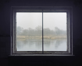
Usedom
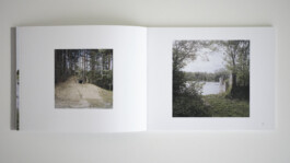
view across the border towards Świnoujście
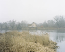
Uznam
view across the border towards Ahlbeck
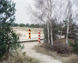
Paprotno (Świnoujście)
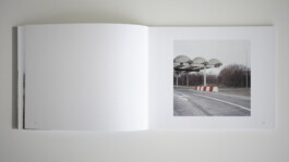
former border checkpoint
Kamminke
north bank of 'Stettiner Haff' / 'Zalew Szczeciński'
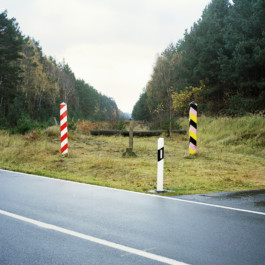
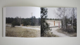
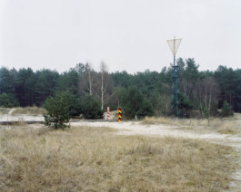
Rosówek
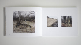
former information board at border checkpoint
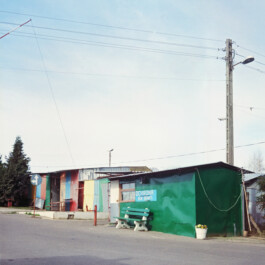
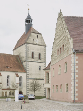
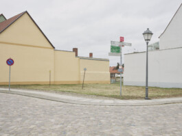
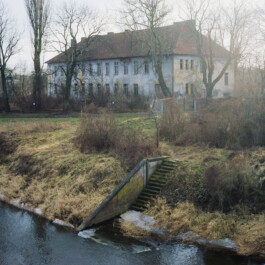
Krajnik Dolny
border market
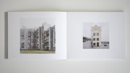
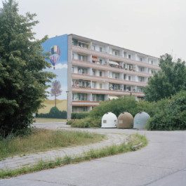
Schwedt/Oder
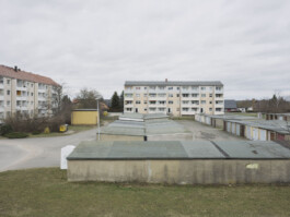
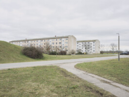
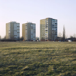
'Plattenbau' in 'Neubaugebiet Wohnkomplex IV'
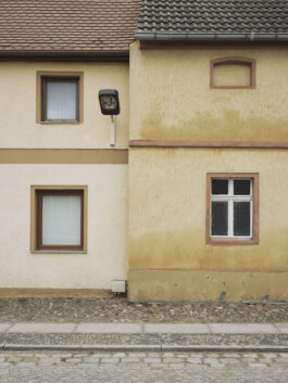
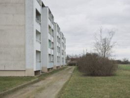
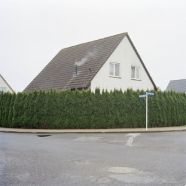
Schwedt/Oder
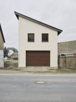
residential building
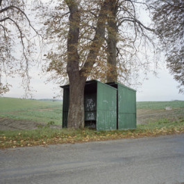
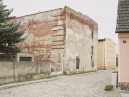
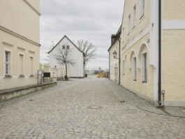
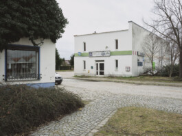
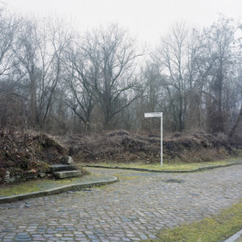
Krzymów (Chojna)
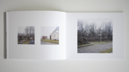
bus stop
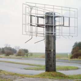
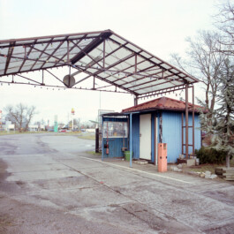
Osinów Dolny
border market 'Oder Center Berlin' after a fire
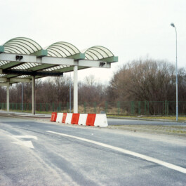
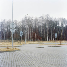
Kostrzyn nad Odrą
former border checkpoint
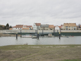
Küstrin-Kietz
view across the Oder towards Kostrzyn nad Odrą
Kostrzyn nad Odrą
view across the Oder towards Küstrin-Kietz
Küstrin-Kietz
former barracks
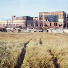
Kostrzyn nad Odrą
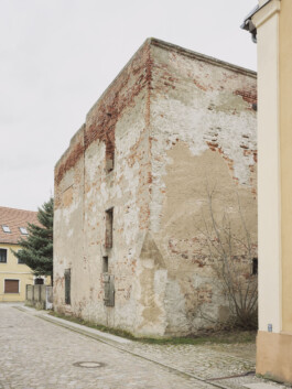
remains of the old town of Küstrin (destroyed in 1945)
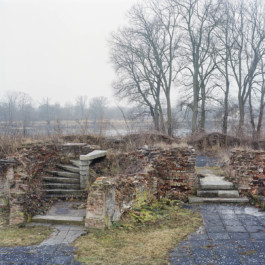
Kostrzyn nad Odrą
remains of the old town of Küstrin
Kostrzyn nad Odrą
exit of border market 'Kostrzyn bazar'
Kostrzyn nad Odrą
boat storage
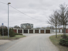
Słubice
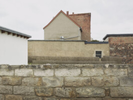
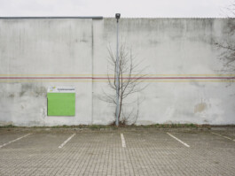
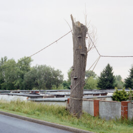
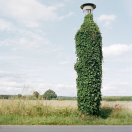
electricity tree and garage yard
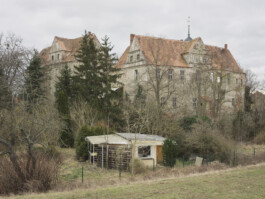
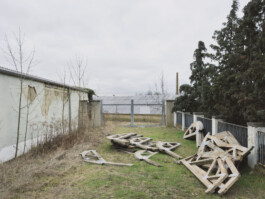
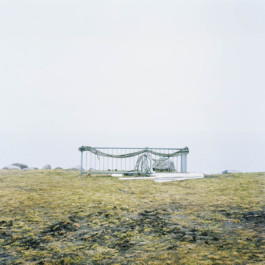
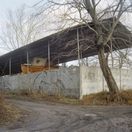
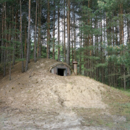
former bunker facility
Eisenhüttenstadt
residential area Fürstenberg (Oder)
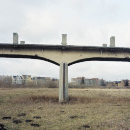
Eisenhüttenstadt
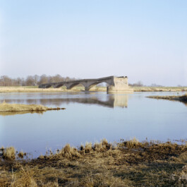
ruins of the Oder bridge (blown up in 1945)
Ratzdorf
lamp post
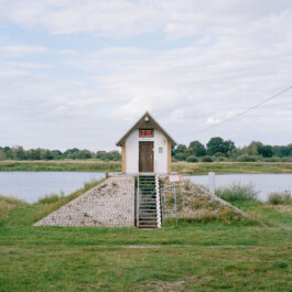
Ratzdorf
water level station at the Oder
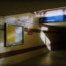
Guben
train station
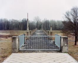
Forst
view across the Neisse with former footbridge (destroyed 1945) towards Zasieki
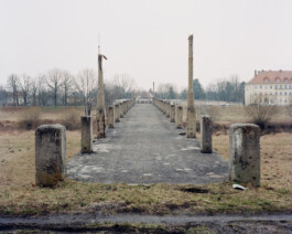
Zasieki
view across the Neisse with former footbridge towards Forst
Zasieki
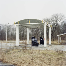
closed gas station
Zasieki
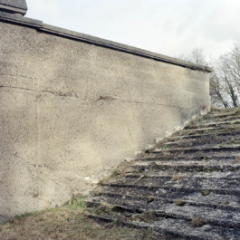
weathered stairs at former Neisse bridge
Zasieki
view under destroyed footbridge towards Forst
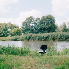
Bad Muskau
office chair in Muskauer Park
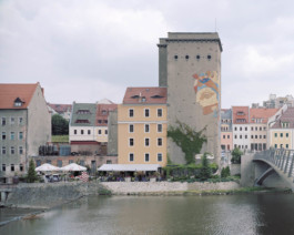
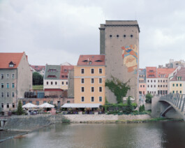
Görlitz
view across the Neisse towards Zgorzelec
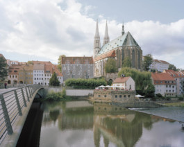
Zgorzelec
view across the Neisse towards Görlitz
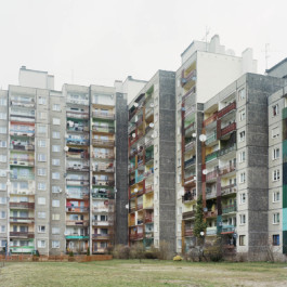
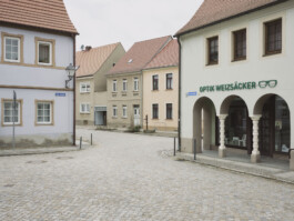
Zgorzelec
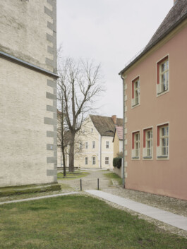
residential building
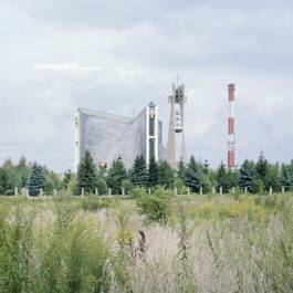
Zgorzelec
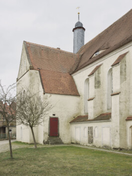
church 'Józefa Robotnika i Barbary' located in an industrial area
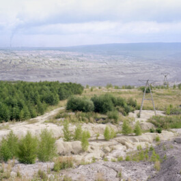
Sieniawka (Gmina Bogatynia)
Turów Coal Mine
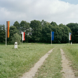
Zittau
German-Polish-Czech tripoint
GRANICA – photobook
softcover, size: 20 x 16 cm
80 pages, 60 colour photographs
self-published in 2016